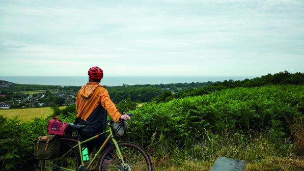
Rebellion Way: trike and trailer alternative route

This route suggests some alternative options avoiding the barriers to make it doable for trikes, handcycles, recumbents and trailers. That does mean this version has a higher proportion of road sections, particularly around Thetford Forest. Longer term, we'll be hoping to get some of the barriers and pinch points on the original route removed or improved, to make it more suitable for all riders.
We've aimed to retain the overall feel and experience of the Rebellion Way, so this alternative route is not all smooth rolling - there are still some fun challenging bits and some gravelly, sandy terrain to tackle. With that in mind, we'd recommend that you have some experience of riding off-road and you know that your cycle can handle it. For handcycles, e-assist can be very helpful to maintain momentum on the rougher surfaces.

Interactive map
The map below shows the alternative route in blue, compared with the original Rebellion Way route in orange. It highlights the remaining barriers on the route to be aware of (symbols with black background), in a few places where it was very difficult to find an alternative route - such as where the route takes an underpass beneath a busy road. These barriers can be a bit of awkward to manoeuvre around, but they shouldn't hinder your progress.
It also shows the barriers which were on the original route and have been avoided (symbols with white background). Depending on the shape and size of your cycle, you might decide that some of those won't be a problem for you, so you can choose whether or not to take the alternative option. Click or tap the info and layer icons in the corner of the map to toggle layers on and off. Tap the barrier symbols for more info and images.
We would welcome feedback or suggestions to improve this alternative route - please get in touch at [email protected]
Facilities
Accommodation
We are aware of the following wheelchair-accessible accommodation along the route:
- Premier Inns in Norwich, Thetford and King's Lynn (the one in King's Lynn kindly let us park a van there for a few days)
- Deepdale Camping & Rooms, Burnham Deepdale
- Elmham House, Walsingham
- YHA Sheringham
- Wigwam Holidays Forest Park, Cromer
Please let us know about others and we'll add them to the list.
Toilets
Toilet Map is a very helpful resource to find public toilets along the route - you can filter for accessible and RADAR key toilet facilities. Many cafés and pubs also have an accessible toilet available.
© 2022 Cyclists Touring Club trading as Cycling UK. All rights reserved.


